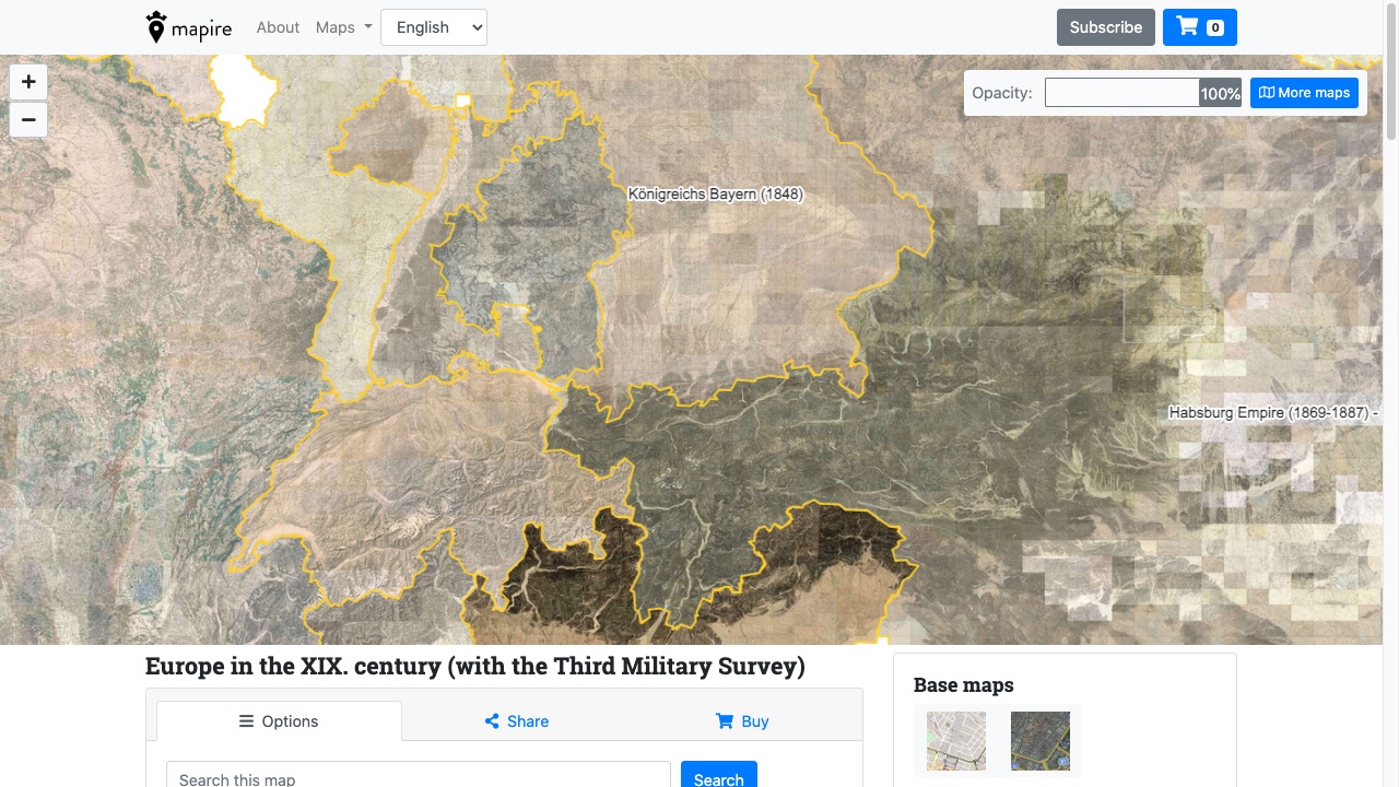
Georeferenced historical European maps.
Website: https://www.mapire.eu
Price: Freemium (consultation free, usage paid)
Platform: Web
Mapire presents detailed and accurate historical maps of several countries in an innovative way.
Our collection
- Great military surveys
- Maps of countries and cities
- Thematic maps
Interactive maps
- View maps in 3D
- Compare old and contemporary maps in a synchronized viewer
- Search cities and other places – both old and new
- Measure distance and areas
The technical implementation of digitization, georeferencing, and development of the web application based on the Microsoft Bing platform have been led by Arcanum Adatbázis Kft.
Mapire has been created in cooperation with the following institutions:
- Austrian State Archives: The owner of the Josephinische and Franziszeische Landesaufnahme.
- Hungarian National Archives: The owner of the cadastral maps of Hungary.
- Government Office of the Capital City Budapest (legal successor of the Institute of Geodesy, Cartography and Remote Sensing): The owner and guardian of the Hungarian cadastral maps.
- Croatian State Archives: The owner of the cadastral maps of Croatia.
- Hungarian War Archives: The owner of the Franzisco-Josephinische Landesaufnahme.
- City Archives of Budapest: The owner of the historical maps of Budapest.
- Arcanum Adatbázis Kft: The developer of the software and specialist in digitization and georeferencing.
- Department of Geophysics and Space Science, ELTE: with their scientific expertise.
- Gábor Timár PhD: Scientific Advisor.
