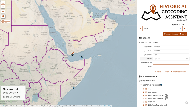
Geocodes historical places in Google Sheets
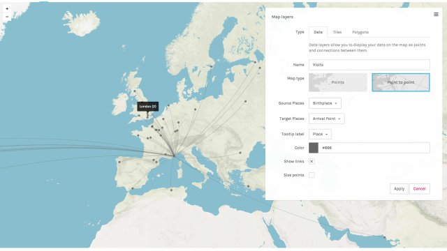
Visualize complex historical data as maps, graphs or galleries
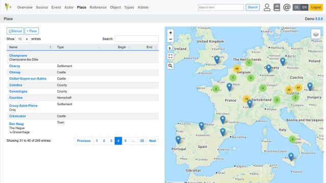
Web database & API integrating spatial, historical and prosopographic data
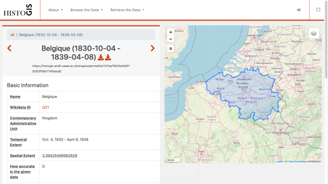
Historical Central European borders as GeoJSON
GeoJson.io is a open-source web visual map editor for GeoJSON files
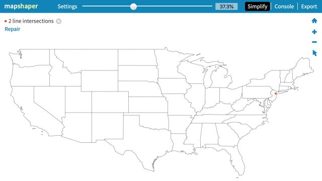
Tool to simplify, join and convert GeoJSON or other GIS files
Thematic and hidden maps of Eastern and Southeastern Europe
Interactive historical atlas with built-in Wikipedia
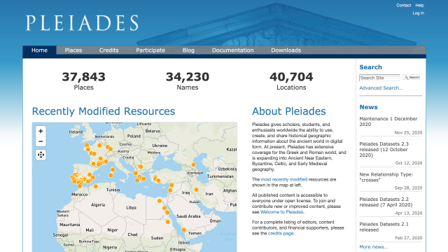
Community-built gazetteer and graph of ancient places
Send us your favourite tools and collections to info@tempopedia.org and we will add them to the directory.
Made with by Sebastian Majstorovic. This work is licensed under a Creative Commons Attribution 4.0 International License .
 .
.